Buscar

 SDI strategic planning using the system dynamics technique: A case study in Tanzania
(AGILE Digital Editions, 2014-06)
Development of spatial data Infrastructure (SDI) is a long term process, which requires long-term plans. The complexity of SDI, which is a matter of technical, institutional and financial challenges and their interactions, ...
Influence of point cloud density on the results of automated Object-Based building extraction from ALS data
(AGILE Digital Editions, 2014-06)
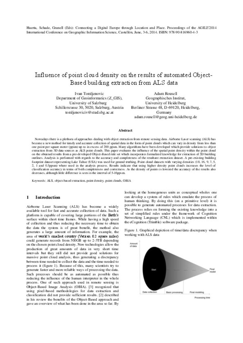
Nowadays there is a plethora of approaches dealing with object extraction from remote sensing data. Airborne Laser scanning (ALS) has become a new method for timely and accurate collection of spatial data in the form of ...
Texas PanHandle Climate Change Interactive GIS Web Application
(AGILE Digital Editions, 2014-06)
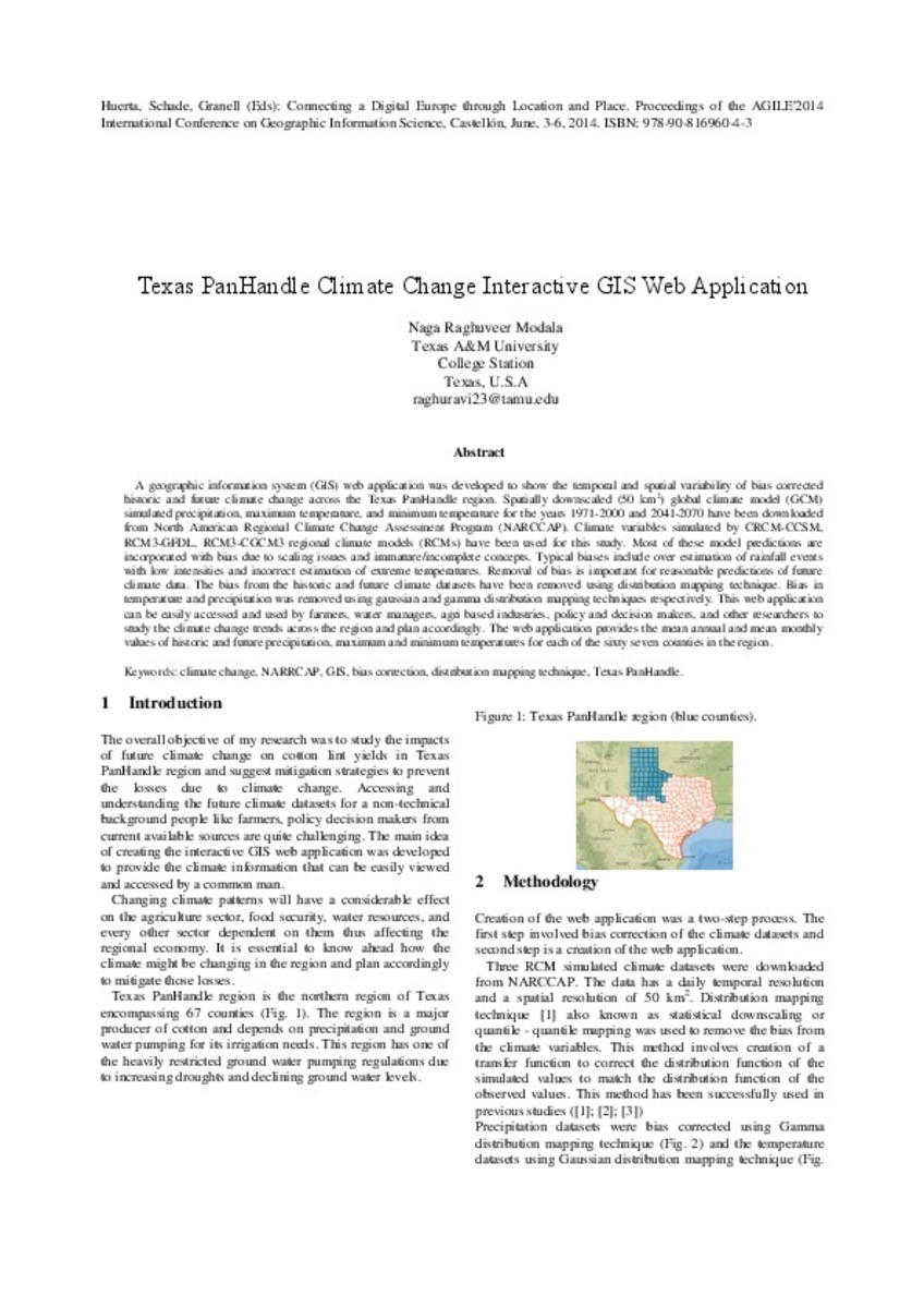
A geographic information system (GIS) web application was developed to show the temporal and spatial variability of bias corrected historic and future climate change across the Texas PanHandle region. Spatially downscaled ...
Comparative study of Land Use/Cover classification using Flickr photos, satellite imagery and Corine land cover database
(AGILE Digital Editions, 2014-06)
Volunteered Geographic Information has been increasing exponentially over the last years, capturing the attention of the scientific community. Researchers have been very active exploring a vast amount of initiatives and ...
Assessment of the integration of geographic information in e-government policy in Europe
(AGILE Digital Editions, 2014-06)
The integration of geographic information and services in a broader e-government context can be considered as a necessary condition for realising the full potential of Spatial Data Infrastructures (SDIs). In recent years, ...
Orchestrating the spatial planning process: from Business Process Management to 2nd generation Planning Support Systems
(AGILE Digital Editions, 2014-06)
Metaplanning can be considered as a necessary step for improving collaboration, transparency and accountability in sustainable and
democratic spatial decision-making process. This paper reports current findings on the ...
Analysing spatiotemporal patterns of antibiotics prescriptions
(AGILE Digital Editions, 2014-06)
The emergence of antibiotic resistances due to antibiotic residues in urban sewage systems is becoming an increasingly important issue. This paper presents a model for the spatiotemporal analysis of antibiotic inputs to ...
Some strategic national initiatives for the Swedish education in the geodata field
(AGILE Digital Editions, 2014-06)
This paper describes national cooperation in Sweden launched by its universities and authorities, aimed at improving geodata education.
These initiatives have been focused upon providing common access to geodata, the ...

Recitoire: a tool for qualitative surveys involving citizens in urban planning projects
(AGILE Digital Editions, 2014-06)
The difficulty to involve citizens into projects that influence or transform their experience of the urban space is underlined by public authorities
and professionals such as urban planners. The implication of citizens ...
Design ofthe Data Transformation Architecture forthe INSPIRE Data Model Browser
(AGILE Digital Editions, 2014-06)
The INSPIRE directive requires that inside a Spatial Data Infrastructure (SDI) data are provided using a model compliant with the INSPIRE Data Model (IDM). Therefore, one of the main issues during the implementation of an ...


