Mostrar el registro sencillo del ítem
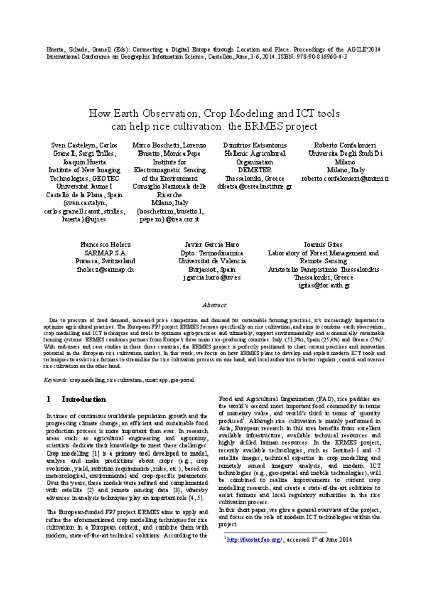
How Earth Observation, Crop Modeling, and ICT can help rice cultivation: the ERMES project
| dc.contributor | Huerta Guijarro, Joaquín | |
| dc.contributor | Schade, Sven | |
| dc.contributor | Granell, Carlos | |
| dc.contributor.author | Casteleyn, Sven | |
| dc.contributor.author | Granell, Carlos | |
| dc.contributor.author | Trilles, Sergio | |
| dc.contributor.author | Huerta, Joaquin | |
| dc.contributor.author | BOSCHETTI, MIRCO | |
| dc.contributor.author | Busetto, Lorenzo | |
| dc.contributor.author | Pepe, Monica | |
| dc.contributor.author | Katsantonis, Dimitrios | |
| dc.contributor.author | Confalonieri, Roberto | |
| dc.contributor.author | Holecz, Francesco | |
| dc.contributor.author | García Haro, Javier | |
| dc.contributor.author | Gitas, Ioannis | |
| dc.date.accessioned | 2014-09-01T07:28:47Z | |
| dc.date.available | 2014-09-01T07:28:47Z | |
| dc.date.issued | 2014-06 | |
| dc.identifier.isbn | 9789081696043 | |
| dc.identifier.uri | http://hdl.handle.net/10234/99570 | |
| dc.description | Ponencias, comunicaciones y pósters presentados en el 17th AGILE Conference on Geographic Information Science "Connecting a Digital Europe through Location and Place", celebrado en la Universitat Jaume I del 3 al 6 de junio de 2014. | ca_CA |
| dc.description.abstract | Due to pressure of food demand, increased price competition and demand for sustainable farming practices, it’s increasingly important to optimize agricultural practices. The European FP7 project ERMES focuses specifically on rice cultivation, and aims to combine earth observation, crop modelling and ICT techniques and tools to optimize agro-practices and ultimately, support environmentally and economically sustainable farming systems. ERMES combines partners from Europe’s three main rice-producing countries: Italy (51,3%), Spain (25,4%) and Greece (7%)1. With end-users and case studies in these three countries, the ERMES project is perfectly positioned to chart current practices and innovation potential in the European rice cultivation market. In this work, we focus on how ERMES plans to develop and exploit modern ICT tools and techniques to assist rice farmers to streamline the rice cultivation process on one hand, and local authorities to better regulate, control and oversee rice cultivation on the other hand. | ca_CA |
| dc.description.sponsorShip | Proyecto FP7-Space ERMES n. 606983 | |
| dc.format.extent | 3 p. | ca_CA |
| dc.format.mimetype | application/pdf | ca_CA |
| dc.language.iso | eng | ca_CA |
| dc.publisher | AGILE Digital Editions | ca_CA |
| dc.relation | info:eu-repo/grantAgreement/EC/FP7/248497 | |
| dc.relation.isPartOf | Huerta, Schade, Granell (Eds): Connecting a Digital Europe through Location and Place. Proceedings of the AGILE'2014 International Conference on Geographic Information Science, Castellón, June, 3-6, 2014. ISBN: 978-90-816960-4-3 | ca_CA |
| dc.rights.uri | http://rightsstatements.org/vocab/CNE/1.0/ | * |
| dc.subject | Association of Geographic Information Laboratories for Europe ( AGILE) Conference | ca_CA |
| dc.subject | Geographic Information Science | ca_CA |
| dc.subject | Información geográfica | ca_CA |
| dc.subject | crop modelling | ca_CA |
| dc.subject | rice cultivation | ca_CA |
| dc.subject | smart app | ca_CA |
| dc.subject | geo-portal | ca_CA |
| dc.title | How Earth Observation, Crop Modeling, and ICT can help rice cultivation: the ERMES project | ca_CA |
| dc.type | info:eu-repo/semantics/bookPart | ca_CA |
| dc.rights.accessRights | info:eu-repo/semantics/openAccess | ca_CA |


