Buscar
 Noise map: professional versus crowdsourced data
(AGILE Digital Editions, 2014-06)
The goal of the recent study is to evaluate the usability of the data measurement capability of an average smartphone and make a comparative study on available open source mobile applications potentially suitable to noise ...
IDE-OTALEX C. The big challenge of the first Crossborder SDI between Spain and Portugal
(AGILE Digital Editions, 2014-06)
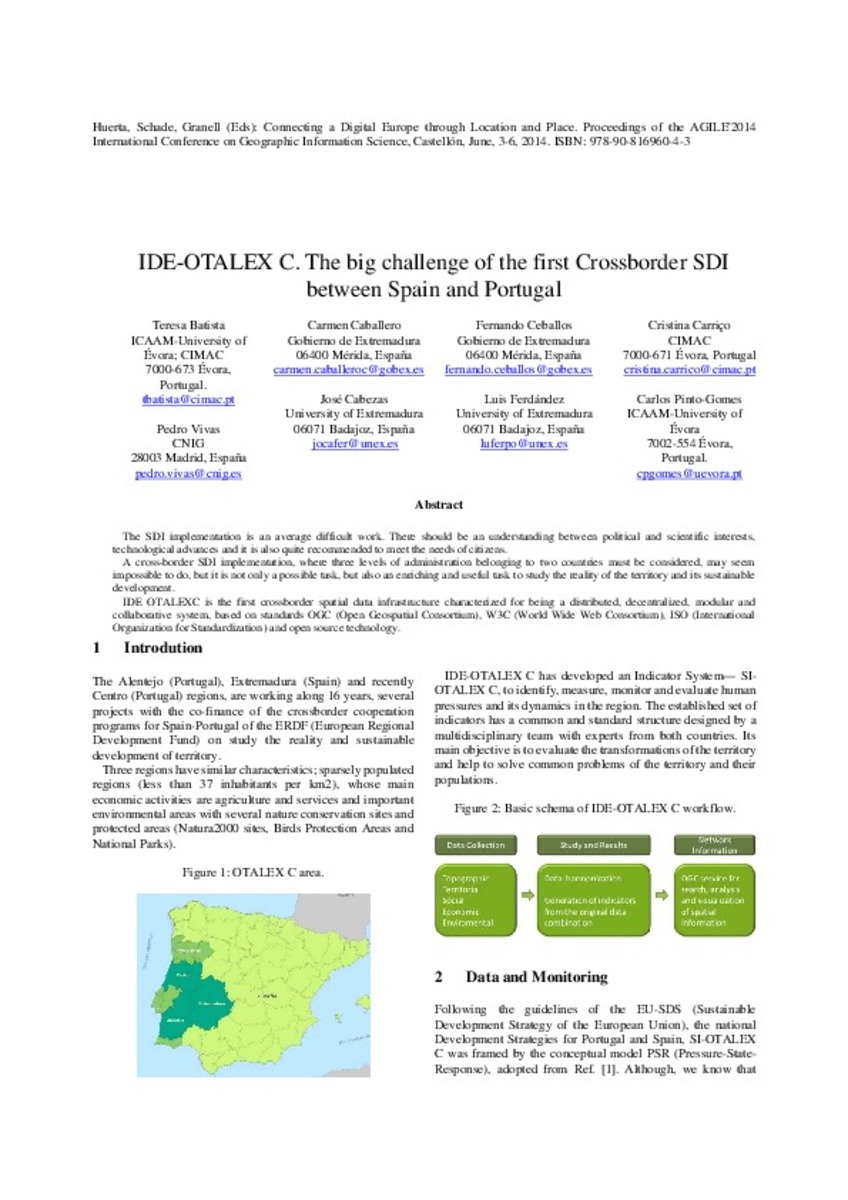
The SDI implementation is an average difficult work. There should be an understanding between political and scientific interests,
technological advances and it is also quite recommended to meet the needs of citizens.
A ...
Geo-Information Visualizations of Linked Data
(AGILE Digital Editions, 2014-06)
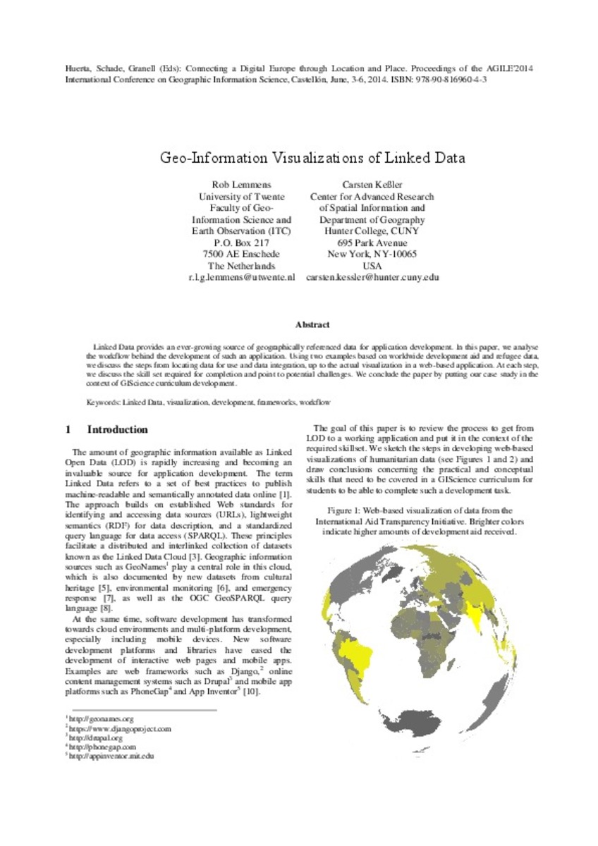
Linked Data provides an ever-growing source of geographically referenced data for application development. In this paper, we analyse
the workflow behind the development of such an application. Using two examples based ...
Data Scarcity or low Representativeness?: What hinders accuracy and precision of spatial interpolation of climate data?
(AGILE Digital Editions, 2014-06)
Data scarcity is a major scientific challenge for accuracy and precision of spatial interpolation of climatic fields, especially in climatestressed
developing countries. Methodologies have been suggested for coping up ...
Improving equity of public transportation planning. The case of Palma de Mallorca (Spain)
(AGILE Digital Editions, 2014-06)
Public transport planning requires consideration of equity in access of the population to the transport service. This paper presents a methodology for the analysis of public transport in the city of Palma and its evaluation ...

Geographic Information Technologies for analysing the digital footprint of tourists
(AGILE Digital Editions, 2014-06)
As part of a study on the use of the city by visitors, this paper discusses the technical solution adopted in order to analyse and exploit the
geo-digital footprint generated by the said visitors using GPS devices.
Enhancing the role of Citizen Sensors in Mapping: COST Action TD1202
(AGILE Digital Editions, 2014-06)
This article introduces a strategic initiative, COST Action TD1202, focused on the role of citizen sensors in mapping. It outlines the Action’s scope, aims and current status. In particular, the article outlines the potential ...
How Earth Observation, Crop Modeling, and ICT can help rice cultivation: the ERMES project
(AGILE Digital Editions, 2014-06)
Due to pressure of food demand, increased price competition and demand for sustainable farming practices, it’s increasingly important to
optimize agricultural practices. The European FP7 project ERMES focuses specifically ...
Agile access to sensor network
(AGILE Digital Editions, 2014-06)
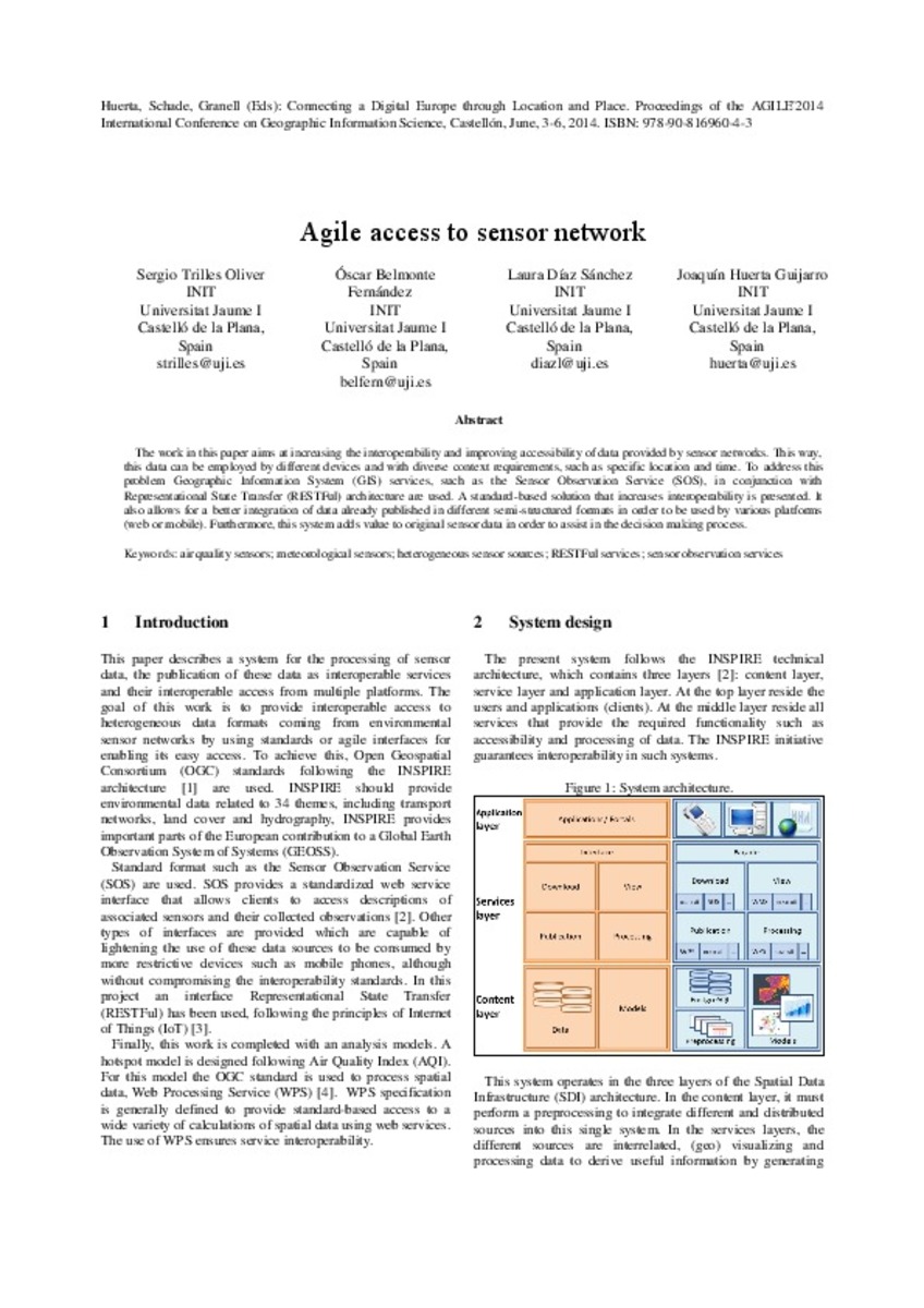
The work in this paper aims at increasing the interoperability and improving accessibility of data provided by sensor networks. This way, this data can be employed by different devices and with diverse context requirements, ...


