Mostrar el registro sencillo del ítem
Fuzzy viewshed, probable viewshed, and their use in the analysis of prehistoric monuments placement in Western Slovakia
| dc.contributor | Huerta Guijarro, Joaquín | |
| dc.contributor | Schade, Sven | |
| dc.contributor | Granell Canut, Carlos | |
| dc.contributor.author | Rášová, Alexandra | |
| dc.date.accessioned | 2014-08-27T12:13:42Z | |
| dc.date.available | 2014-08-27T12:13:42Z | |
| dc.date.issued | 2014-06 | |
| dc.identifier.isbn | 9789081696043 | |
| dc.identifier.uri | http://hdl.handle.net/10234/99490 | |
| dc.description | Ponencias, comunicaciones y pósters presentados en el 17th AGILE Conference on Geographic Information Science "Connecting a Digital Europe through Location and Place", celebrado en la Universitat Jaume I del 3 al 6 de junio de 2014. | ca_CA |
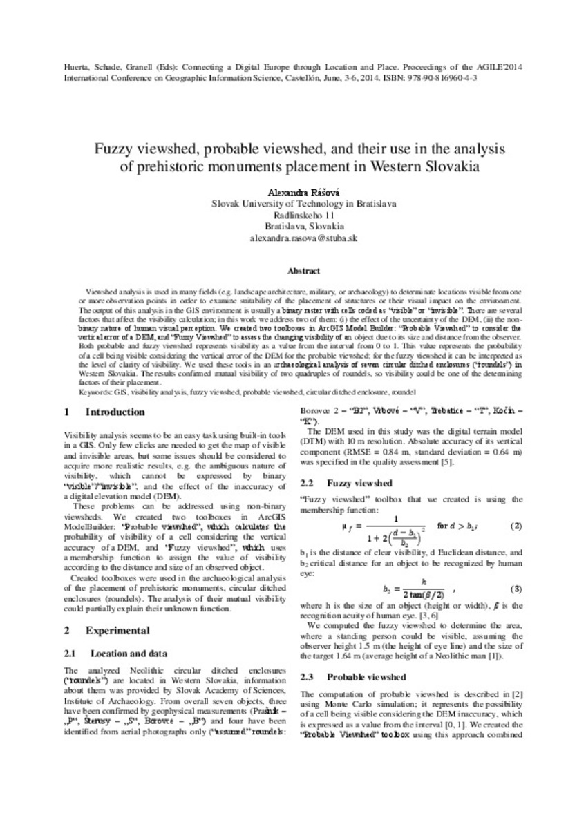
| dc.description.abstract | Viewshed analysis is used in many fields (e.g. landscape architecture, military, or archaeology) to determinate locations visible from one or more observation points in order to examine suitability of the placement of structures or their visual impact on the environment. The output of this analysis in the GIS environment is usually a binary raster with cells coded as “visible” or “invisible”. There are several factors that affect the visibility calculation; in this work we address two of them: (i) the effect of the uncertainty of the DEM, (ii) the non-binary nature of human visual perception. We created two toolboxes in ArcGIS Model Builder: “Probable Viewshed” to consider the vertical error of a DEM, and “Fuzzy Viewshed” to assess the changing visibility of an object due to its size and distance from the observer. Both probable and fuzzy viewshed represents visibility as a value from the interval from 0 to 1. This value represents the probability of a cell being visible considering the vertical error of the DEM for the probable viewshed; for the fuzzy viewshed it can be interpreted as the level of clarity of visibility. We used these tools in an archaeological analysis of seven circular ditched enclosures (“roundels”) in Western Slovakia. The results confirmed mutual visibility of two quadruples of roundels, so visibility could be one of the determining factors of their placement. | ca_CA |
| dc.format.extent | 3 p. | ca_CA |
| dc.format.mimetype | application/pdf | ca_CA |
| dc.language.iso | spa | ca_CA |
| dc.publisher | AGILE Digital Editions | ca_CA |
| dc.relation.isPartOf | Huerta, Schade, Granell (Eds): Connecting a Digital Europe through Location and Place. Proceedings of the AGILE'2014 International Conference on Geographic Information Science, Castellón, June, 3-6, 2014. ISBN: 978-90-816960-4-3 | ca_CA |
| dc.rights.uri | http://rightsstatements.org/vocab/CNE/1.0/ | * |
| dc.subject | Association of Geographic Information Laboratories for Europe ( AGILE) Conference | ca_CA |
| dc.subject | Geographic Information Science | ca_CA |
| dc.subject | Información geográfica | ca_CA |
| dc.subject | GIS | ca_CA |
| dc.subject | visibility analysis | ca_CA |
| dc.subject | fuzzy viewshed | ca_CA |
| dc.subject | probable viewshed | ca_CA |
| dc.subject | circular ditched enclosure | ca_CA |
| dc.subject | roundel | ca_CA |
| dc.title | Fuzzy viewshed, probable viewshed, and their use in the analysis of prehistoric monuments placement in Western Slovakia | ca_CA |
| dc.type | info:eu-repo/semantics/bookPart | ca_CA |
| dc.rights.accessRights | info:eu-repo/semantics/openAccess | ca_CA |


