| dc.contributor | Huerta Guijarro, Joaquín | |
| dc.contributor | Schade, Sven | |
| dc.contributor | Granell Canut, Carlos | |
| dc.contributor.author | Meek, Sam | |
| dc.contributor.author | Jackson, Mike J. | |
| dc.contributor.author | Leibovici, Didier G. | |
| dc.date.accessioned | 2014-07-30T11:48:36Z | |
| dc.date.available | 2014-07-30T11:48:36Z | |
| dc.date.issued | 2014-06 | |
| dc.identifier.isbn | 9789081696043 | |
| dc.identifier.uri | http://hdl.handle.net/10234/98927 | |
| dc.description | Ponencias, comunicaciones y pósters presentados en el 17th AGILE Conference on Geographic Information Science
"Connecting a Digital Europe through Location and Place", celebrado en la Universitat Jaume I del 3 al 6 de junio de 2014. | ca_CA |
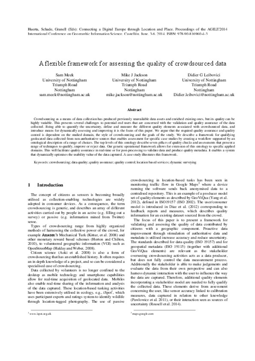
| dc.description.abstract | Crowdsourcing as a means of data collection has produced previously unavailable data assets and enriched existing ones, but its quality can be highly variable. This presents several challenges to potential end users that are concerned with the validation and quality assurance of the data collected. Being able to quantify the uncertainty, define and measure the different quality elements associated with crowdsourced data, and introduce means for dynamically assessing and improving it is the focus of this paper. We argue that the required quality assurance and quality control is dependent on the studied domain, the style of crowdsourcing and the goals of the study. We describe a framework for qualifying geolocated data collected from non-authoritative sources that enables assessment for specific case studies by creating a workflow supported by an ontological description of a range of choices. The top levels of this ontology describe seven pillars of quality checks and assessments that present a range of techniques to qualify, improve or reject data. Our generic operational framework allows for extension of this ontology to specific applied domains. This will facilitate quality assurance in real-time or for post-processing to validate data and produce quality metadata. It enables a system that dynamically optimises the usability value of the data captured. A case study illustrates this framework. | ca_CA |
| dc.format.extent | 7 p. | ca_CA |
| dc.format.mimetype | application/pdf | ca_CA |
| dc.language.iso | eng | ca_CA |
| dc.publisher | AGILE Digital Editions | ca_CA |
| dc.relation.isPartOf | Huerta, Schade, Granell (Eds): Connecting a Digital Europe through Location and Place. Proceedings of the AGILE'2014 International Conference on Geographic Information Science, Castellón, June, 3-6, 2014. ISBN: 978-90-816960-4-3 | ca_CA |
| dc.rights.uri | http://rightsstatements.org/vocab/CNE/1.0/ | * |
| dc.subject | Association of Geographic Information Laboratories for
Europe ( AGILE) Conference | ca_CA |
| dc.subject | Geographic Information Science | ca_CA |
| dc.subject | Información geográfica | ca_CA |
| dc.subject | crowdsourcing | ca_CA |
| dc.subject | data quality | ca_CA |
| dc.subject | quality assurance | ca_CA |
| dc.subject | quality control | ca_CA |
| dc.subject | location based services | ca_CA |
| dc.subject | dynamic surveying | ca_CA |
| dc.title | A flexible framework for assessing the quality of crowdsourced data | ca_CA |
| dc.type | info:eu-repo/semantics/bookPart | ca_CA |
| dc.rights.accessRights | info:eu-repo/semantics/openAccess | ca_CA |


