Influence of point cloud density on the results of automated Object-Based building extraction from ALS data

Metadata
Title
Influence of point cloud density on the results of automated Object-Based building extraction from ALS data
Others authors
Huerta Guijarro, Joaquín; Schade, Sven; Granell Canut, CarlosDate
2014-06Abstract
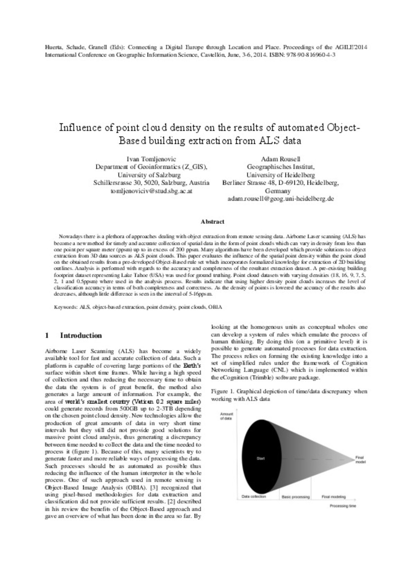
Nowadays there is a plethora of approaches dealing with object extraction from remote sensing data. Airborne Laser scanning (ALS) has become a new method for timely and accurate collection of spatial data in the form ... [+]
Description
Ponencias, comunicaciones y pósters presentados en el 17th AGILE Conference on Geographic Information Science
"Connecting a Digital Europe through Location and Place", celebrado en la Universitat Jaume I del 3 al 6 ... [+]
Subject

Is part of
Huerta, Schade, Granell (Eds): Connecting a Digital Europe through Location and Place. Proceedings of the AGILE'2014 International Conference on Geographic Information Science, Castellón, June, 3-6, 2014. ISBN: 978-90-816960-4-3ISBN
9789081696043Type
info:eu-repo/semantics/bookPartPublisher
AGILE Digital EditionsRights
http://rightsstatements.org/vocab/CNE/1.0/
info:eu-repo/semantics/openAccess
info:eu-repo/semantics/openAccess


