Mostrar el registro sencillo del ítem
Cadastral data integration through Linked Data
| dc.contributor | Huerta Guijarro, Joaquín | |
| dc.contributor | Schade, Sven | |
| dc.contributor | Granell Canut, Carlos | |
| dc.contributor.author | Saavedra, Jhonny | |
| dc.contributor.author | Vilches-Blázquez, Luis M. | |
| dc.contributor.author | Boada, Alberto | |
| dc.date.accessioned | 2014-07-30T10:48:54Z | |
| dc.date.available | 2014-07-30T10:48:54Z | |
| dc.date.issued | 2014-06 | |
| dc.identifier.isbn | 9789081696043 | |
| dc.identifier.uri | http://hdl.handle.net/10234/98742 | |
| dc.description | Ponencias, comunicaciones y pósters presentados en el 17th AGILE Conference on Geographic Information Science "Connecting a Digital Europe through Location and Place", celebrado en la Universitat Jaume I del 3 al 6 de junio de 2014. | ca_CA |
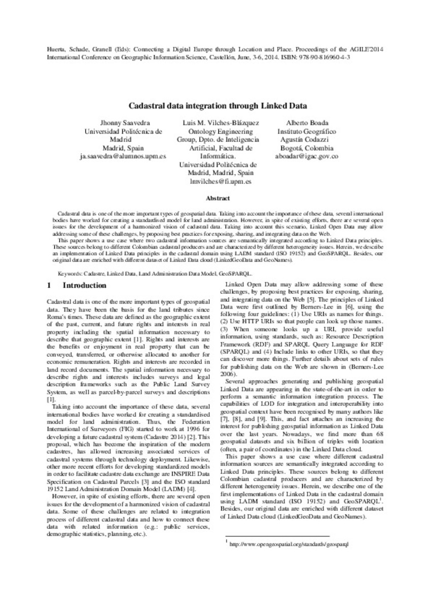
| dc.description.abstract | Cadastral data is one of the more important types of geospatial data. Taking into account the importance of these data, several international bodies have worked for creating a standardised model for land administration. However, in spite of existing efforts, there are several open issues for the development of a harmonized vision of cadastral data. Taking into account this scenario, Linked Open Data may allow addressing some of these challenges, by proposing best practices for exposing, sharing, and integrating data on the Web. This paper shows a use case where two cadastral information sources are semantically integrated according to Linked Data principles. These sources belong to different Colombian cadastral producers and are characterized by different heterogeneity issues. Herein, we describe an implementation of Linked Data principles in the cadastral domain using LADM standard (ISO 19152) and GeoSPARQL. Besides, our original data are enriched with different dataset of Linked Data cloud (LinkedGeoData and GeoNames). | ca_CA |
| dc.format.extent | 5 p. | ca_CA |
| dc.format.mimetype | application/pdf | ca_CA |
| dc.language.iso | eng | ca_CA |
| dc.publisher | AGILE Digital Editions | ca_CA |
| dc.relation.isPartOf | Huerta, Schade, Granell (Eds): Connecting a Digital Europe through Location and Place. Proceedings of the AGILE'2014 International Conference on Geographic Information Science, Castellón, June, 3-6, 2014. ISBN: 978-90-816960-4-3 | ca_CA |
| dc.rights.uri | http://rightsstatements.org/vocab/CNE/1.0/ | * |
| dc.subject | Association of Geographic Information Laboratories for Europe ( AGILE) Conference | ca_CA |
| dc.subject | Geographic Information Science | ca_CA |
| dc.subject | Información geográfica | ca_CA |
| dc.subject | cadastre | ca_CA |
| dc.subject | Linked Data | ca_CA |
| dc.subject | Land Administration Data Model | ca_CA |
| dc.subject | GeoSPARQL | ca_CA |
| dc.title | Cadastral data integration through Linked Data | ca_CA |
| dc.type | info:eu-repo/semantics/bookPart | ca_CA |
| dc.rights.accessRights | info:eu-repo/semantics/openAccess | ca_CA |


