Mostrar el registro sencillo del ítem
How to visualize the geography of Swiss history
| dc.contributor | Huerta Guijarro, Joaquín | |
| dc.contributor | Schade, Sven | |
| dc.contributor | Granell Canut, Carlos | |
| dc.contributor.author | Bruggmann, André | |
| dc.contributor.author | Fabrikant, Sara I. | |
| dc.date.accessioned | 2014-07-30T07:10:32Z | |
| dc.date.available | 2014-07-30T07:10:32Z | |
| dc.date.issued | 2014-06 | |
| dc.identifier.isbn | 9789081696043 | |
| dc.identifier.uri | http://hdl.handle.net/10234/98724 | |
| dc.description | Ponencias, comunicaciones y pósters presentados en el 17th AGILE Conference on Geographic Information Science "Connecting a Digital Europe through Location and Place", celebrado en la Universitat Jaume I del 3 al 6 de junio de 2014. | ca_CA |
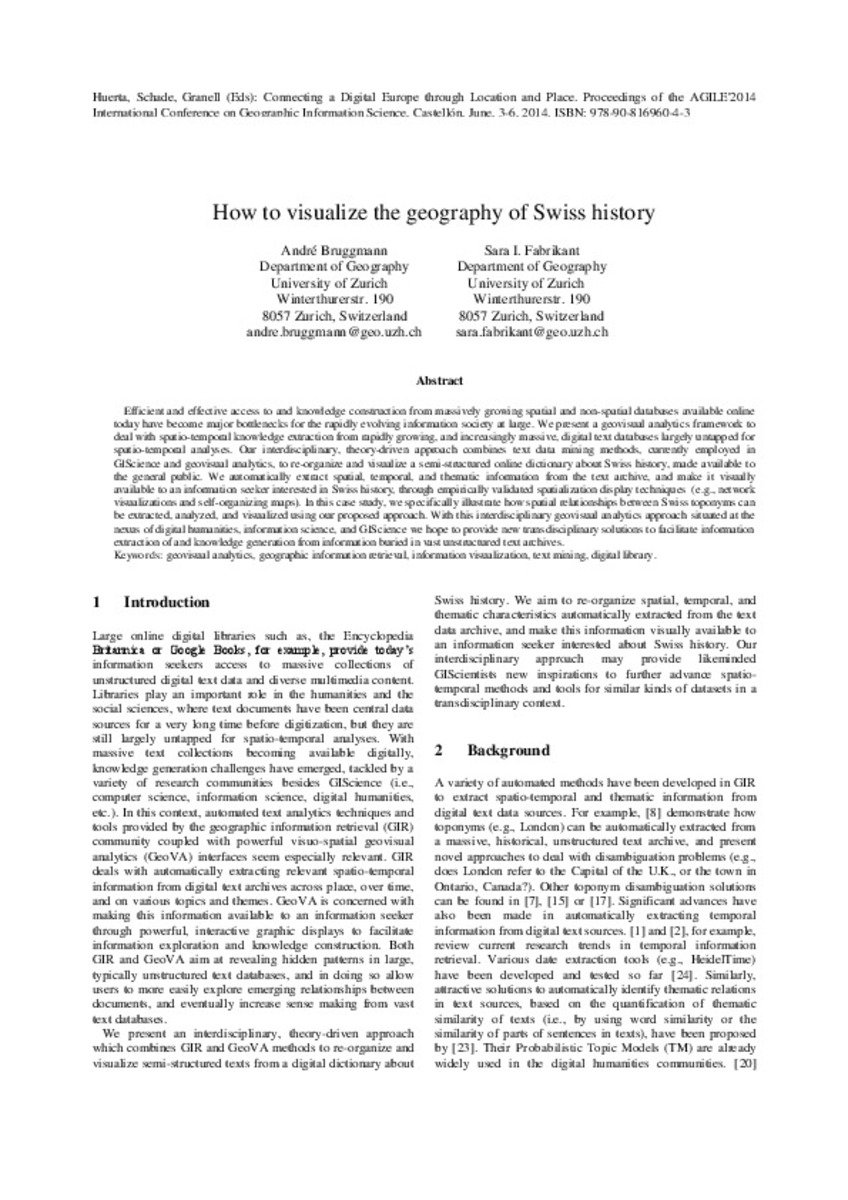
| dc.description.abstract | Efficient and effective access to and knowledge construction from massively growing spatial and non-spatial databases available online today have become major bottlenecks for the rapidly evolving information society at large. We present a geovisual analytics framework to deal with spatio-temporal knowledge extraction from rapidly growing, and increasingly massive, digital text databases largely untapped for spatio-temporal analyses. Our interdisciplinary, theory-driven approach combines text data mining methods, currently employed in GIScience and geovisual analytics, to re-organize and visualize a semi-structured online dictionary about Swiss history, made available to the general public. We automatically extract spatial, temporal, and thematic information from the text archive, and make it visually available to an information seeker interested in Swiss history, through empirically validated spatialization display techniques (e.g., network visualizations and self-organizing maps). In this case study, we specifically illustrate how spatial relationships between Swiss toponyms can be extracted, analyzed, and visualized using our proposed approach. With this interdisciplinary geovisual analytics approach situated at the nexus of digital humanities, information science, and GIScience we hope to provide new transdisciplinary solutions to facilitate information extraction of and knowledge generation from information buried in vast unstructured text archives. | ca_CA |
| dc.format.extent | 6 p. | ca_CA |
| dc.format.mimetype | application/pdf | ca_CA |
| dc.language.iso | eng | ca_CA |
| dc.publisher | AGILE Digital Editions | ca_CA |
| dc.relation.isPartOf | Huerta, Schade, Granell (Eds): Connecting a Digital Europe through Location and Place. Proceedings of the AGILE'2014 International Conference on Geographic Information Science, Castellón, June, 3-6, 2014. ISBN: 978-90-816960-4-3 | ca_CA |
| dc.rights.uri | http://rightsstatements.org/vocab/CNE/1.0/ | * |
| dc.subject | Association of Geographic Information Laboratories for Europe ( AGILE) Conference | ca_CA |
| dc.subject | Geographic Information Science | ca_CA |
| dc.subject | Información geográfica | ca_CA |
| dc.subject | geovisual analytics | ca_CA |
| dc.subject | geographic information retrieval | ca_CA |
| dc.subject | information visualization | ca_CA |
| dc.subject | text mining | ca_CA |
| dc.subject | digital library | ca_CA |
| dc.title | How to visualize the geography of Swiss history | ca_CA |
| dc.type | info:eu-repo/semantics/bookPart | ca_CA |
| dc.rights.accessRights | info:eu-repo/semantics/openAccess | ca_CA |


