Buscar
 Workforce Demand Assessment to Shape Future GI-Education – First Results of a Survey
(AGILE Digital Editions, 2014-06)
Geographic Information Science & Technology (GIS&T) is constantly evolving in scientific and technological terms. In 2006 the GIS&T
Body of Knowledge (BoK) initiative has provided a domain inventory that serves as a ...
It’s GIrls’ Day! What sketch maps show about girls’ spatial knowledge
(AGILE Digital Editions, 2014-06)
This paper describes the analysis of sketch maps from girls who participated in the Girls’ Day annual event in Germany. The event caters to girls from Grades 7 – 10 as an opportunity to experience various jobs that might ...
A Spatial Approach to Surveying Crime‐problematic Areas at the Street Level
(AGILE Digital Editions, 2014-06)
Reaching far beyond the realm of geography and its related disciplines, spatial analysis and visualization tools now actively support the
decision-making processes of law enforcement agencies. Interactive mapping of crime ...
Latest Developments and activities in the Spanish NSDI
(AGILE Digital Editions, 2014-06)
The Spanish NSDI Geoportal was opened on June 2004 and has evolving continuously with the support of a healthy collaborative community composed by public and private sector, academia and citizens. INSPIRE Directive has ...

Spatiotemporal data complexity in electronic airport layout plan and its visualization
(AGILE Digital Editions, 2014-06)
Airports GIS is a web portal consisting of a few application modules. It allows authorized users of FAA (Federal Aviation Administration) to submit changes to airport data. One of these applications is electronic Airport ...

Cadastral data integration through Linked Data
(AGILE Digital Editions, 2014-06)
Cadastral data is one of the more important types of geospatial data. Taking into account the importance of these data, several international
bodies have worked for creating a standardised model for land administration. ...
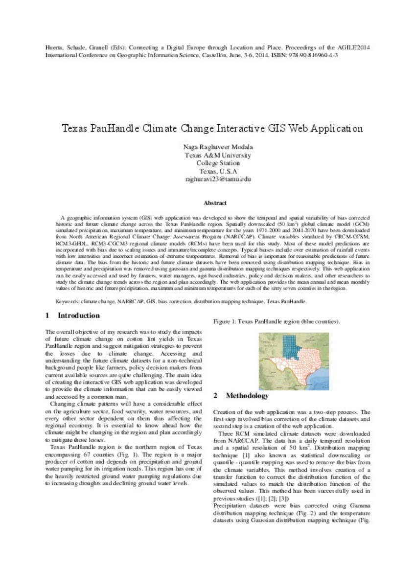
Texas PanHandle Climate Change Interactive GIS Web Application
(AGILE Digital Editions, 2014-06)
A geographic information system (GIS) web application was developed to show the temporal and spatial variability of bias corrected historic and future climate change across the Texas PanHandle region. Spatially downscaled ...

Towards initiating OpenLandMap founded on citizens’ science: The current status of land use features of OpenStreetMap in Europe
(AGILE Digital Editions, 2014-06)
Land use inventories are important information sources for scholarly research, policy-makers, practitioners, and developers. A considerable amount of effort and monetary resources have been used to generate global/regional/local ...

Estimating Moving Regions out of Point Data – from Excavation Sites in the Amazon region to Areas of Influence of Prehistoric Cultures
(AGILE Digital Editions, 2014-06)
How can we derive the changing area of influence of specific cultures from only a few excavation sites in the Amazon region? The
approach used for calculating areas of influence for several time intervals strongly depends ...

Towards spatio‐temporal data modeling of geo‐tagged shipping information
(AGILE Digital Editions, 2014-06)
Spatio-temporal data models deal with capturing information characterized by both spatial and temporal semantics. In this paper we review current approaches for spatio-temporal data modelling and present out initial results ...


