Buscar
 Latest Developments and activities in the Spanish NSDI
(AGILE Digital Editions, 2014-06)
The Spanish NSDI Geoportal was opened on June 2004 and has evolving continuously with the support of a healthy collaborative community composed by public and private sector, academia and citizens. INSPIRE Directive has ...

Spatiotemporal data complexity in electronic airport layout plan and its visualization
(AGILE Digital Editions, 2014-06)
Airports GIS is a web portal consisting of a few application modules. It allows authorized users of FAA (Federal Aviation Administration) to submit changes to airport data. One of these applications is electronic Airport ...

Is this Twitter event a disaster?
(AGILE Digital Editions, 2014-06)
Social media services such as Twitter have become an important channel for reporting real-world events. For example, they can describe the current situation during a disaster. The decisions in crises management are based ...
Workforce Demand Assessment to Shape Future GI-Education – First Results of a Survey
(AGILE Digital Editions, 2014-06)
Geographic Information Science & Technology (GIS&T) is constantly evolving in scientific and technological terms. In 2006 the GIS&T
Body of Knowledge (BoK) initiative has provided a domain inventory that serves as a ...

SDI strategic planning using the system dynamics technique: A case study in Tanzania
(AGILE Digital Editions, 2014-06)
Development of spatial data Infrastructure (SDI) is a long term process, which requires long-term plans. The complexity of SDI, which is a matter of technical, institutional and financial challenges and their interactions, ...

Publishing metadata of geospatial indicators as Linked Open Data: a policy-oriented approach
(AGILE Digital Editions, 2014-06)
Geospatial indicators are becoming increasingly important for governments in monitoring and underpinning policy planning and political decision making. Currently, the discovery, viewing and sharing of these indicators is ...
Influence of point cloud density on the results of automated Object-Based building extraction from ALS data
(AGILE Digital Editions, 2014-06)
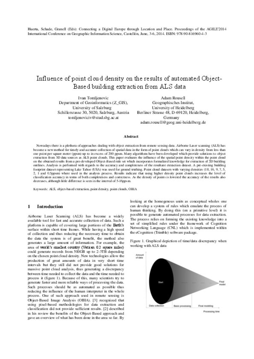
Nowadays there is a plethora of approaches dealing with object extraction from remote sensing data. Airborne Laser scanning (ALS) has become a new method for timely and accurate collection of spatial data in the form of ...


The effects of different verbal route instructions on spatial orientation
(AGILE Digital Editions, 2014-06)
Providing cognitively effective wayfinding instructions is an ongoing research agenda. In addition to providing instructions that are easy to follow, work has started to address instructions that can potentially facilitate ...
Enhancing the role of Citizen Sensors in Mapping: COST Action TD1202
(AGILE Digital Editions, 2014-06)
This article introduces a strategic initiative, COST Action TD1202, focused on the role of citizen sensors in mapping. It outlines the Action’s scope, aims and current status. In particular, the article outlines the potential ...


