Buscar

 Queues in Ski Resort Graphs: the Ski-Optim Model
(AGILE Digital Editions, 2014-06)
It is rather unknown how skiers move inside ski areas. However, new data collection systems, such as RFID chips on ski passes (which allow counting skiers at the gates of the cableways), can be used to analyse the movement ...

Using Open Street Maps data and tools for indoor mapping in a Smart City scenario
(AGILE Digital Editions, 2014-06)
This paper explains the experience of implementing a Smart City scenario using Open Street Maps tools and data. An indoor mapping
system including not only a localization and navigation solution, but also a natural speaking ...

A conceptual representation for modelling the synchronization process of complex road networks
(AGILE Digital Editions, 2014-06)

Comparing Knowledge-Driven and Data-Driven Modeling methods for susceptibility mapping in spatial epidemiology: a case study in Visceral Leishmaniasis
(AGILE Digital Editions, 2014-06)
The aim of this study is to compare knowledge-driven and data-driven methods for susceptibility mapping in spatial epidemiology. Our comparison focuses on one of the arguably most important requisites in such models, namely ...
Street network created by proximity graphs: Its topological structure and travel efficiency
(AGILE Digital Editions, 2014-06)
There exists a large body of basic research on street networks using proximity graphs from various viewpoints. In the present study, we employ proximity graphs based on β-skeletons which change in response to variations ...
GEOSUD SDI: accessing Earth Observation data collections with semantic-based services
(AGILE Digital Editions, 2014-06)
Ecosystems and territories are complex systems involving multidisciplinary approaches on different time scales and different locations. Yet,
mastering the spatial information on these systems is critical to lead a relevant ...

The effects of different verbal route instructions on spatial orientation
(AGILE Digital Editions, 2014-06)
Providing cognitively effective wayfinding instructions is an ongoing research agenda. In addition to providing instructions that are easy to follow, work has started to address instructions that can potentially facilitate ...
An algorithm for segmenting a feature set into equitable regions
(AGILE Digital Editions, 2014-06)
A set of geographic features of the same class representing a geographic area is often required to be divided in to several subsets/regions
so that the sum of a numeric attribute of the features in each subset/region ...
Crowdsourced-based mapping of historical west-to-east routes from the textual accounts of European Travelers
(AGILE Digital Editions, 2014-06)
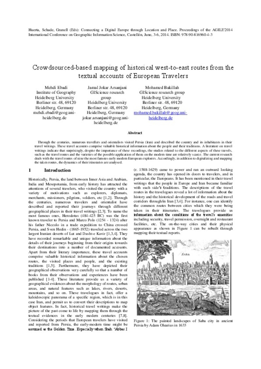
Through the centuries, numerous travellers and orientalists visited Persia (Iran) and described the country and its inhabitants in their travel writings. These travel accounts comprise valuable historical information about ...

Characteristics of Citizen-contributed Geographic Information
(AGILE Digital Editions, 2014-06)
Current Internet applications have been increasingly incorporating citizen-contributed geographic information (CCGI) with much heterogeneous characteristics. Nevertheless, despite their differences, several terms are often ...


