Mostrar el registro sencillo del ítem
Cropland capture: A gaming approach to improve global land cover
| dc.contributor | Huerta Guijarro, Joaquín | |
| dc.contributor | Schade, Sven | |
| dc.contributor | Granell Canut, Carlos | |
| dc.contributor.author | See, Linda | |
| dc.contributor.author | Sturn, Tobias | |
| dc.contributor.author | Fritz, Steffen | |
| dc.contributor.author | McCallum, Ian | |
| dc.contributor.author | Salk, Carl | |
| dc.date.accessioned | 2014-07-30T10:29:59Z | |
| dc.date.available | 2014-07-30T10:29:59Z | |
| dc.date.issued | 2014-06 | |
| dc.identifier.isbn | 9789081696043 | |
| dc.identifier.uri | http://hdl.handle.net/10234/98740 | |
| dc.description | Ponencias, comunicaciones y pósters presentados en el 17th AGILE Conference on Geographic Information Science "Connecting a Digital Europe through Location and Place", celebrado en la Universitat Jaume I del 3 al 6 de junio de 2014. | ca_CA |
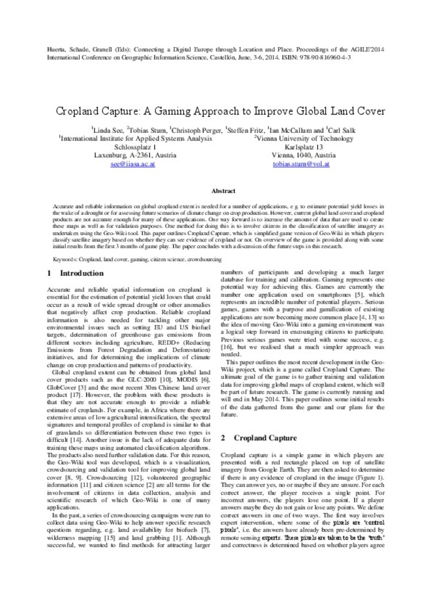
| dc.description.abstract | Accurate and reliable information on global cropland extent is needed for a number of applications, e g. to estimate potential yield losses in the wake of a drought or for assessing future scenarios of climate change on crop production. However, current global land cover and cropland products are not accurate enough for many of these applications. One way forward is to increase the amount of data that are used to create these maps as well as for validation purposes. One method for doing this is to involve citizens in the classification of satellite imagery as undertaken using the Geo-Wiki tool. This paper outlines Cropland Capture, which is simplified game version of Geo-Wiki in which players classify satellite imagery based on whether they can see evidence of cropland or not. On overview of the game is provided along with some initial results from the first 3 months of game play. The paper concludes with a discussion of the future steps in this research. | ca_CA |
| dc.format.extent | 4 p. | ca_CA |
| dc.format.mimetype | application/pdf | ca_CA |
| dc.language.iso | eng | ca_CA |
| dc.publisher | AGILE Digital Editions | ca_CA |
| dc.relation.isPartOf | Huerta, Schade, Granell (Eds): Connecting a Digital Europe through Location and Place. Proceedings of the AGILE'2014 International Conference on Geographic Information Science, Castellón, June, 3-6, 2014. ISBN: 978-90-816960-4-3 | ca_CA |
| dc.rights.uri | http://rightsstatements.org/vocab/CNE/1.0/ | * |
| dc.subject | Association of Geographic Information Laboratories for Europe ( AGILE) Conference | ca_CA |
| dc.subject | Geographic Information Science | ca_CA |
| dc.subject | Información geográfica | ca_CA |
| dc.subject | cropland | ca_CA |
| dc.subject | land cover | ca_CA |
| dc.subject | gaming | ca_CA |
| dc.subject | citizen science | ca_CA |
| dc.subject | crowdsourcing | ca_CA |
| dc.title | Cropland capture: A gaming approach to improve global land cover | ca_CA |
| dc.type | info:eu-repo/semantics/bookPart | ca_CA |
| dc.rights.accessRights | info:eu-repo/semantics/openAccess | ca_CA |


