Mostra el registre parcial de l'element
Citizen-based sensing of crisis events: sensor web enablement for volunteered geographic information
| dc.contributor.author | Schade, Sven | |
| dc.contributor.author | Díaz Sánchez, Laura | |
| dc.contributor.author | Ostermann, Frank | |
| dc.contributor.author | Spinsanti, Laura | |
| dc.contributor.author | Luraschi, Gianluca | |
| dc.contributor.author | Cox, Simon | |
| dc.contributor.author | Núñez Redó, Manuela | |
| dc.contributor.author | De Longueville, Bertrand | |
| dc.date.accessioned | 2012-08-02T07:06:37Z | |
| dc.date.available | 2012-08-02T07:06:37Z | |
| dc.date.issued | 2011-07-19 | |
| dc.identifier.issn | 1866-928X | |
| dc.identifier.issn | 1866-9298 | |
| dc.identifier.uri | http://hdl.handle.net/10234/43682 | |
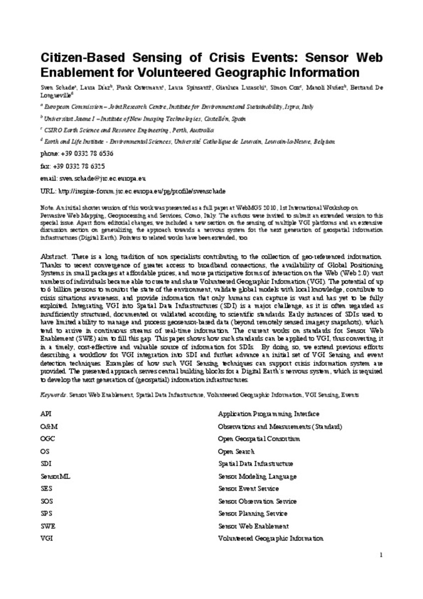
| dc.description.abstract | Thanks to recent convergence of greater access to broadband connections, the availability of Global Positioning Systems in small packages at affordable prices and more participative forms of interaction on the Web (Web 2.0), vast numbers of individuals became able to create and share Volunteered Geographic Information (VGI). The potential of up to six billion persons to monitor the state of the environment, validate global models with local knowledge, contribute to crisis situations awareness, and provide information that only humans can capture is vast and has yet to be fully exploited. Integrating VGI into Spatial Data Infrastructures (SDI) is a major challenge, as it is often regarded as insufficiently structured, documented, or validated according to scientific standards. Early instances of SDIs used to have limited ability to manage and process geosensor-based data (beyond remotely sensed imagery), which tend to arrive in continuous streams of real-time information. The current works on standards for Sensor Web Enablement fill this gap. This paper shows how such standards can be applied to VGI, thus converting it in a timely, cost-effective and valuable source of information for SDIs. By doing so, we extend previous efforts describing a workflow for VGI integration into SDI and further advance an initial set of VGI Sensing and event detection techniques. Examples of how such VGI Sensing techniques can support crisis information system are provided. The presented approach serves central building blocks for a Digital Earth’s nervous system, which is required to develop the next generation of (geospatial) information infrastructures. | ca_CA |
| dc.format.extent | 18 p. | ca_CA |
| dc.format.mimetype | application/pdf | ca_CA |
| dc.language | eng | ca_CA |
| dc.language.iso | cat | ca_CA |
| dc.publisher | Springer Verlag | ca_CA |
| dc.relation.isFormatOf | The original publication is available at http://http://www.springerlink.com/content/e778k72627632443/ | ca_CA |
| dc.relation.isPartOf | Applied Geomatics, Volume 5, Issue 1, p. 3-18 | |
| dc.rights | © Italian Society of Photogrammetry and Topography | ca_CA |
| dc.rights.uri | http://rightsstatements.org/vocab/InC/1.0/ | * |
| dc.subject | Sensor web enablement | ca_CA |
| dc.subject | Spatial data infrastructure | ca_CA |
| dc.subject | Volunteered geographic information | ca_CA |
| dc.subject | VGI Sensing | ca_CA |
| dc.subject | Event Detection | ca_CA |
| dc.title | Citizen-based sensing of crisis events: sensor web enablement for volunteered geographic information | ca_CA |
| dc.type | info:eu-repo/semantics/article | ca_CA |
| dc.identifier.doi | http://dx.doi.org/10.1007/s12518-011-0056-y | |
| dc.rights.accessRights | info:eu-repo/semantics/openAccess | ca_CA |
| dc.relation.publisherVersion | http://link.springer.com/article/10.1007%2Fs12518-011-0056-y | |
| dc.type.version | info:eu-repo/semantics/submittedVersion |
Fitxers en aquest element
Aquest element apareix en la col·lecció o col·leccions següent(s)
-
LSI_Articles [362]
Articles de publicacions periòdiques escrits per professors del Departament de Llenguatges i Sistemes Informàtics -
INIT_Articles [747]


