Mostrar el registro sencillo del ítem
3D Building Change Detection on the basis of Airborne Laser Scanning Data
| dc.contributor | Huerta Guijarro, Joaquín | |
| dc.contributor | Schade, Sven | |
| dc.contributor | Granell Canut, Carlos | |
| dc.contributor.author | Korzeniowska, Karolina | |
| dc.contributor.author | Pfeifer, Norbert | |
| dc.date.accessioned | 2014-08-28T12:24:14Z | |
| dc.date.available | 2014-08-28T12:24:14Z | |
| dc.date.issued | 2014-06 | |
| dc.identifier.isbn | 9789081696043 | |
| dc.identifier.uri | http://hdl.handle.net/10234/99509 | |
| dc.description | Ponencias, comunicaciones y pósters presentados en el 17th AGILE Conference on Geographic Information Science "Connecting a Digital Europe through Location and Place", celebrado en la Universitat Jaume I del 3 al 6 de junio de 2014. | ca_CA |
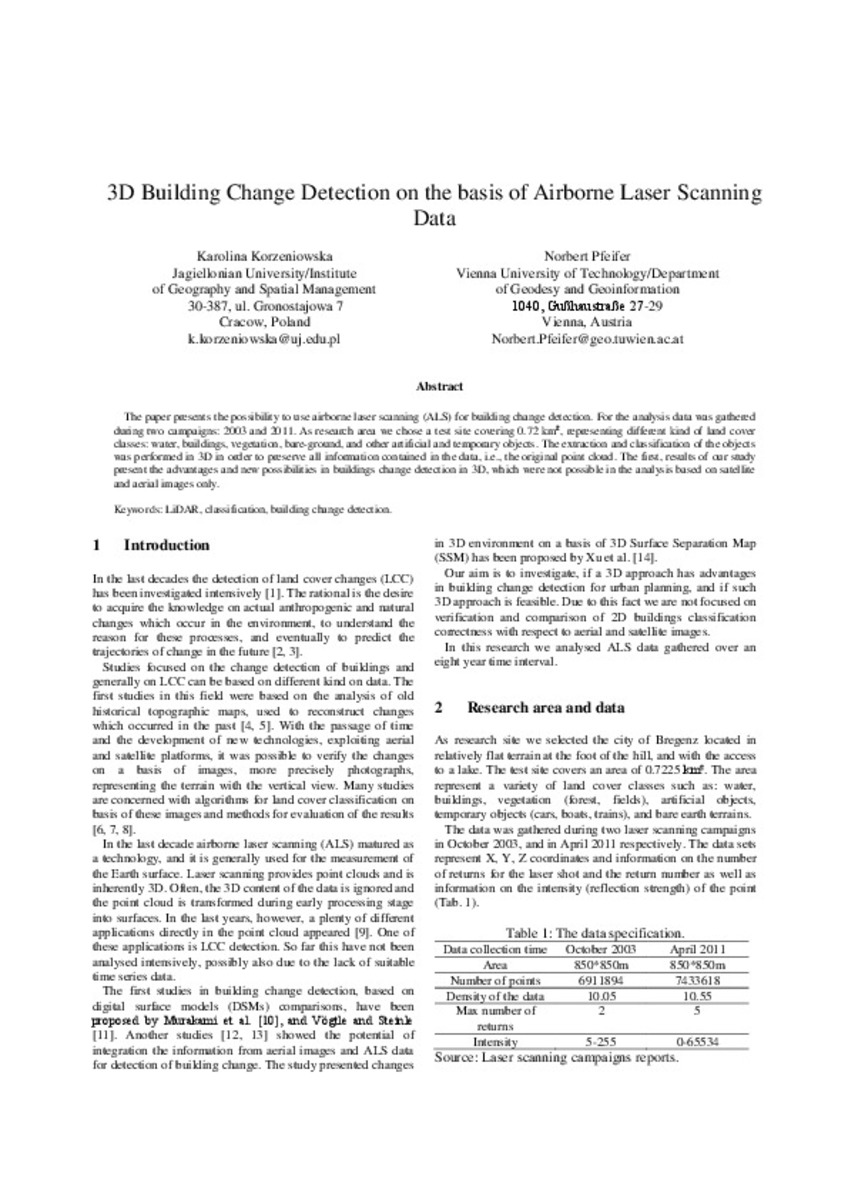
| dc.description.abstract | The paper presents the possibility to use airborne laser scanning (ALS) for building change detection. For the analysis data was gathered during two campaigns: 2003 and 2011. As research area we chose a test site covering 0.72 km², representing different kind of land cover classes: water, buildings, vegetation, bare-ground, and other artificial and temporary objects. The extraction and classification of the objects was performed in 3D in order to preserve all information contained in the data, i.e., the original point cloud. The first, results of our study present the advantages and new possibilities in buildings change detection in 3D, which were not possible in the analysis based on satellite and aerial images only. | ca_CA |
| dc.format.extent | 4 p. | ca_CA |
| dc.format.mimetype | application/pdf | ca_CA |
| dc.language.iso | eng | ca_CA |
| dc.publisher | AGILE Digital Editions | ca_CA |
| dc.relation.isPartOf | Huerta, Schade, Granell (Eds): Connecting a Digital Europe through Location and Place. Proceedings of the AGILE'2014 International Conference on Geographic Information Science, Castellón, June, 3-6, 2014. ISBN: 978-90-816960-4-3 | ca_CA |
| dc.rights.uri | http://rightsstatements.org/vocab/CNE/1.0/ | * |
| dc.subject | Association of Geographic Information Laboratories for Europe ( AGILE) Conference | ca_CA |
| dc.subject | Geographic Information Science | ca_CA |
| dc.subject | Información geográfica | ca_CA |
| dc.subject | LiDAR | ca_CA |
| dc.subject | classification | ca_CA |
| dc.subject | building change detection | ca_CA |
| dc.title | 3D Building Change Detection on the basis of Airborne Laser Scanning Data | ca_CA |
| dc.type | info:eu-repo/semantics/bookPart | ca_CA |
| dc.rights.accessRights | info:eu-repo/semantics/openAccess | ca_CA |


