Mostrar el registro sencillo del ítem
A Spatial Approach to Surveying Crime‐problematic Areas at the Street Level
| dc.contributor | Huerta Guijarro, Joaquín | |
| dc.contributor | Schade, Sven | |
| dc.contributor | Granell Canut, Carlos | |
| dc.contributor.author | Mburu, Lucy Waruguru | |
| dc.contributor.author | Zipf, Alexander | |
| dc.date.accessioned | 2014-08-28T12:17:33Z | |
| dc.date.available | 2014-08-28T12:17:33Z | |
| dc.date.issued | 2014-06 | |
| dc.identifier.isbn | 9789081696043 | |
| dc.identifier.uri | http://hdl.handle.net/10234/99508 | |
| dc.description | Ponencias, comunicaciones y pósters presentados en el 17th AGILE Conference on Geographic Information Science "Connecting a Digital Europe through Location and Place", celebrado en la Universitat Jaume I del 3 al 6 de junio de 2014. | ca_CA |
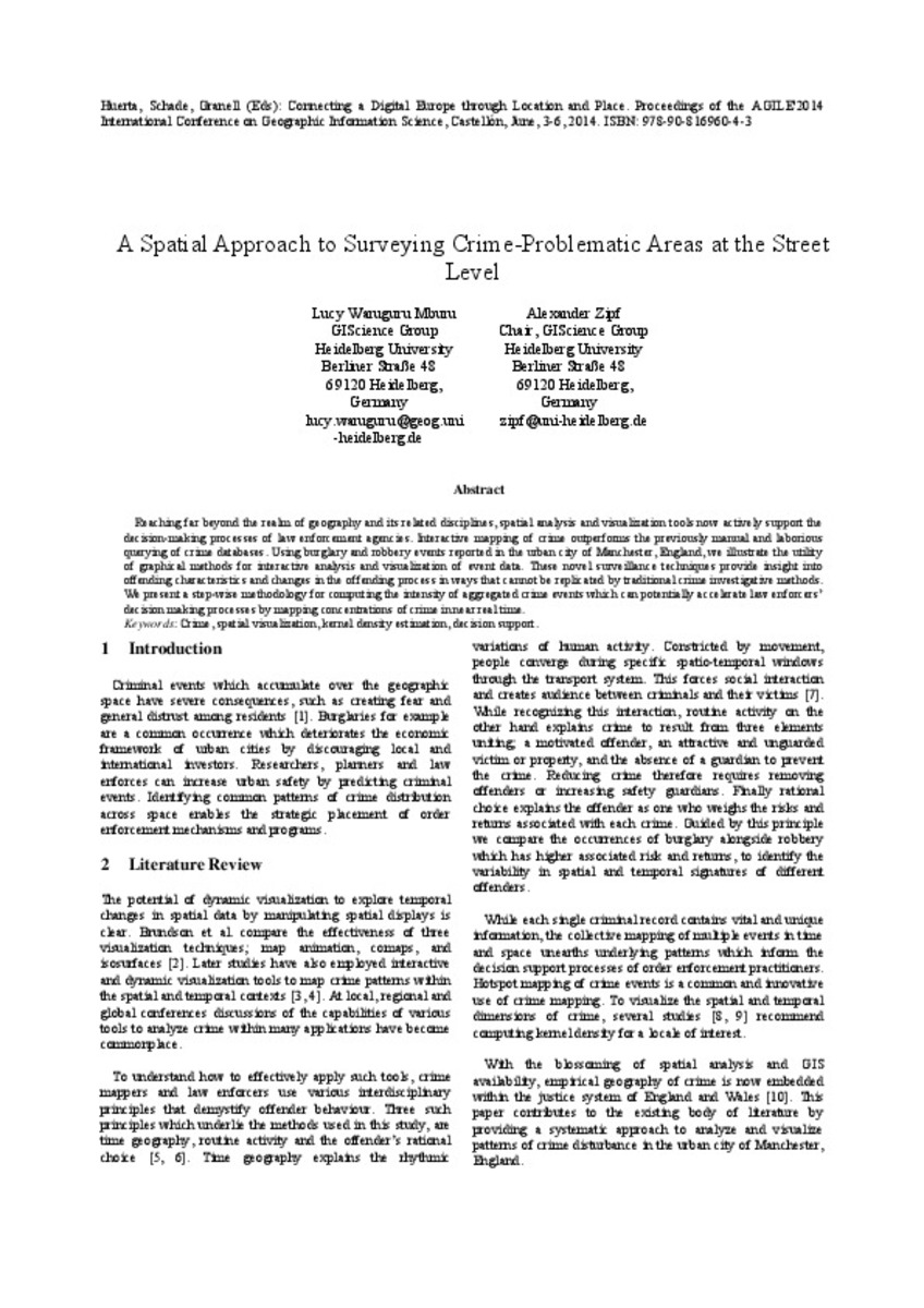
| dc.description.abstract | Reaching far beyond the realm of geography and its related disciplines, spatial analysis and visualization tools now actively support the decision-making processes of law enforcement agencies. Interactive mapping of crime outperforms the previously manual and laborious querying of crime databases. Using burglary and robbery events reported in the urban city of Manchester, England, we illustrate the utility of graphical methods for interactive analysis and visualization of event data. These novel surveillance techniques provide insight into offending characteristics and changes in the offending process in ways that cannot be replicated by traditional crime investigative methods. We present a step-wise methodology for computing the intensity of aggregated crime events which can potentially accelerate law enforcers’ decision making processes by mapping concentrations of crime in near real time. | ca_CA |
| dc.format.extent | 4 p. | ca_CA |
| dc.format.mimetype | application/pdf | ca_CA |
| dc.language.iso | eng | ca_CA |
| dc.publisher | AGILE Digital Editions | ca_CA |
| dc.relation.isPartOf | Huerta, Schade, Granell (Eds): Connecting a Digital Europe through Location and Place. Proceedings of the AGILE'2014 International Conference on Geographic Information Science, Castellón, June, 3-6, 2014. ISBN: 978-90-816960-4-3 | ca_CA |
| dc.rights.uri | http://rightsstatements.org/vocab/CNE/1.0/ | * |
| dc.subject | Association of Geographic Information Laboratories for Europe ( AGILE) Conference | ca_CA |
| dc.subject | Geographic Information Science | ca_CA |
| dc.subject | Información geográfica | ca_CA |
| dc.subject | crime | ca_CA |
| dc.subject | spatial visualization | ca_CA |
| dc.subject | kernel density estimation | ca_CA |
| dc.subject | decision support | ca_CA |
| dc.title | A Spatial Approach to Surveying Crime‐problematic Areas at the Street Level | ca_CA |
| dc.type | info:eu-repo/semantics/bookPart | ca_CA |
| dc.rights.accessRights | info:eu-repo/semantics/openAccess | ca_CA |


