Mostrar el registro sencillo del ítem
Assessment of the integration of geographic information in e-government policy in Europe
| dc.contributor | Huerta Guijarro, Joaquín | |
| dc.contributor | Schade, Sven | |
| dc.contributor | Granell Canut, Carlos | |
| dc.contributor.author | Vancauwenberghe, Glenn | |
| dc.contributor.author | Vandenbroucke, Danny | |
| dc.contributor.author | Crompvoets, Joep | |
| dc.contributor.author | Pignatelli, Francesco | |
| dc.contributor.author | Boguslawski, Raymond | |
| dc.date.accessioned | 2014-07-30T11:45:01Z | |
| dc.date.available | 2014-07-30T11:45:01Z | |
| dc.date.issued | 2014-06 | |
| dc.identifier.isbn | 9789081696043 | |
| dc.identifier.uri | http://hdl.handle.net/10234/98919 | |
| dc.description | Ponencias, comunicaciones y pósters presentados en el 17th AGILE Conference on Geographic Information Science "Connecting a Digital Europe through Location and Place", celebrado en la Universitat Jaume I del 3 al 6 de junio de 2014. | ca_CA |
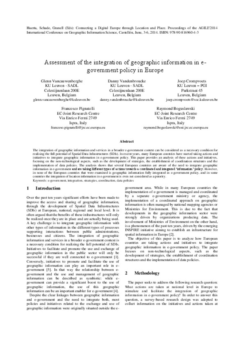
| dc.description.abstract | The integration of geographic information and services in a broader e-government context can be considered as a necessary condition for realising the full potential of Spatial Data Infrastructures (SDIs). In recent years, many European countries have started taking actions and initiatives to integrate geographic information in e-government policy. This paper provides an analysis of these actions and initiatives, focusing on the non-technological aspects, such as the development of strategies, the establishment of coordination structures and the implementation of data policies. The analysis shows that several European countries are aware of the need to integrate geographic information in e-government and are taking different types of actions towards a coordinated and integrated ‘information’ policy. However, in none of the European countries that were examined is geographic information fully integrated in e-government policy, and in some countries the integration of location information in e-government is even not considered as a priority. | ca_CA |
| dc.format.extent | 5 p. | ca_CA |
| dc.format.mimetype | application/pdf | ca_CA |
| dc.language.iso | eng | ca_CA |
| dc.publisher | AGILE Digital Editions | ca_CA |
| dc.relation.isPartOf | Huerta, Schade, Granell (Eds): Connecting a Digital Europe through Location and Place. Proceedings of the AGILE'2014 International Conference on Geographic Information Science, Castellón, June, 3-6, 2014. ISBN: 978-90-816960-4-3 | ca_CA |
| dc.rights.uri | http://rightsstatements.org/vocab/CNE/1.0/ | * |
| dc.subject | Association of Geographic Information Laboratories for Europe ( AGILE) Conference | ca_CA |
| dc.subject | Geographic Information Science | ca_CA |
| dc.subject | Información geográfica | ca_CA |
| dc.subject | e-government | ca_CA |
| dc.subject | integration | ca_CA |
| dc.subject | strategies | ca_CA |
| dc.subject | coordination | ca_CA |
| dc.subject | data policies | ca_CA |
| dc.title | Assessment of the integration of geographic information in e-government policy in Europe | ca_CA |
| dc.type | info:eu-repo/semantics/bookPart | ca_CA |
| dc.rights.accessRights | info:eu-repo/semantics/openAccess | ca_CA |


