Mostrar el registro sencillo del ítem
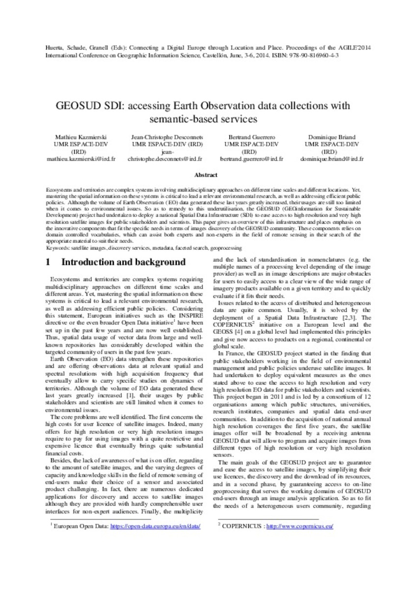
GEOSUD SDI: accessing Earth Observation data collections with semantic-based services
| dc.contributor | Huerta Guijarro, Joaquín | |
| dc.contributor | Schade, Sven | |
| dc.contributor | Granell Canut, Carlos | |
| dc.contributor.author | Kazmierski, Mathieu | |
| dc.contributor.author | Desconnets, Jean-Christophe | |
| dc.contributor.author | Guerrero, Bertrand | |
| dc.contributor.author | Briand, Dominique | |
| dc.date.accessioned | 2014-07-30T10:59:18Z | |
| dc.date.available | 2014-07-30T10:59:18Z | |
| dc.date.issued | 2014-06 | |
| dc.identifier.isbn | 9789081696043 | |
| dc.identifier.uri | http://hdl.handle.net/10234/98809 | |
| dc.description | Ponencias, comunicaciones y pósters presentados en el 17th AGILE Conference on Geographic Information Science "Connecting a Digital Europe through Location and Place", celebrado en la Universitat Jaume I del 3 al 6 de junio de 2014. | ca_CA |
| dc.description.abstract | Ecosystems and territories are complex systems involving multidisciplinary approaches on different time scales and different locations. Yet, mastering the spatial information on these systems is critical to lead a relevant environmental research, as well as addressing efficient public policies. Although the volume of Earth Observation ( EO) data generated these last years greatly increased, their usages are still too limited when it comes to environmental issues. So as to remedy to this underutilisation, the GEOSUD (GEOinformation for Sustainable Development) project had undertaken to deploy a national Spatial Data Infrastructure (SDI) to ease access to high resolution and very high resolution satellite images for public stakeholders and scientists. This paper gives an overview of this infrastructure and places emphasis on the innovative components that fit the specific needs in terms of images discovery of the GEOSUD community. These components relies on domain controlled vocabularies, which can assist both experts and non-experts in the field of remote sensing in their search of the appropriate material to suit their needs. | ca_CA |
| dc.format.extent | 5 p. | ca_CA |
| dc.format.mimetype | application/pdf | ca_CA |
| dc.language.iso | eng | ca_CA |
| dc.publisher | AGILE Digital Editions | ca_CA |
| dc.relation.isPartOf | Huerta, Schade, Granell (Eds): Connecting a Digital Europe through Location and Place. Proceedings of the AGILE'2014 International Conference on Geographic Information Science, Castellón, June, 3-6, 2014. ISBN: 978-90-816960-4-3 | ca_CA |
| dc.rights.uri | http://rightsstatements.org/vocab/CNE/1.0/ | * |
| dc.subject | Association of Geographic Information Laboratories for Europe ( AGILE) Conference | ca_CA |
| dc.subject | Geographic Information Science | ca_CA |
| dc.subject | Información geográfica | ca_CA |
| dc.subject | satellite images | ca_CA |
| dc.subject | discovery services | ca_CA |
| dc.subject | metadata | ca_CA |
| dc.subject | faceted search | ca_CA |
| dc.subject | geoprocessing | ca_CA |
| dc.title | GEOSUD SDI: accessing Earth Observation data collections with semantic-based services | ca_CA |
| dc.type | info:eu-repo/semantics/bookPart | ca_CA |
| dc.rights.accessRights | info:eu-repo/semantics/openAccess | ca_CA |


