Buscar
 Street network created by proximity graphs: Its topological structure and travel efficiency
(AGILE Digital Editions, 2014-06)
There exists a large body of basic research on street networks using proximity graphs from various viewpoints. In the present study, we employ proximity graphs based on β-skeletons which change in response to variations ...
An algorithm for segmenting a feature set into equitable regions
(AGILE Digital Editions, 2014-06)
A set of geographic features of the same class representing a geographic area is often required to be divided in to several subsets/regions
so that the sum of a numeric attribute of the features in each subset/region ...
Crowdsourced-based mapping of historical west-to-east routes from the textual accounts of European Travelers
(AGILE Digital Editions, 2014-06)
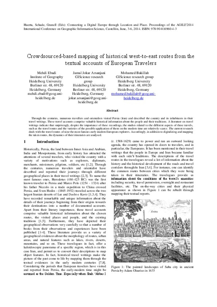
Through the centuries, numerous travellers and orientalists visited Persia (Iran) and described the country and its inhabitants in their travel writings. These travel accounts comprise valuable historical information about ...
How to visualize the geography of Swiss history
(AGILE Digital Editions, 2014-06)
Efficient and effective access to and knowledge construction from massively growing spatial and non-spatial databases available online today have become major bottlenecks for the rapidly evolving information society at ...
Improving equity of public transportation planning. The case of Palma de Mallorca (Spain)
(AGILE Digital Editions, 2014-06)
Public transport planning requires consideration of equity in access of the population to the transport service. This paper presents a methodology for the analysis of public transport in the city of Palma and its evaluation ...
Evaluation of subjective preferences regarding indoor maps: comparison of schematic maps and floor plans
(AGILE Digital Editions, 2014-06)
In this study, we investigate subjective preferences regarding floor plans and schematic maps in the use of a map in an indoor environment. To achieve this, we performed a qualitative experiment with a random user sample; ...
Fuzzy viewshed, probable viewshed, and their use in the analysis of prehistoric monuments placement in Western Slovakia
(AGILE Digital Editions, 2014-06)
Viewshed analysis is used in many fields (e.g. landscape architecture, military, or archaeology) to determinate locations visible from one or more observation points in order to examine suitability of the placement of ...
Data Scarcity or low Representativeness?: What hinders accuracy and precision of spatial interpolation of climate data?
(AGILE Digital Editions, 2014-06)
Data scarcity is a major scientific challenge for accuracy and precision of spatial interpolation of climatic fields, especially in climatestressed
developing countries. Methodologies have been suggested for coping up ...
Enhancing the role of Citizen Sensors in Mapping: COST Action TD1202
(AGILE Digital Editions, 2014-06)
This article introduces a strategic initiative, COST Action TD1202, focused on the role of citizen sensors in mapping. It outlines the Action’s scope, aims and current status. In particular, the article outlines the potential ...
Noise map: professional versus crowdsourced data
(AGILE Digital Editions, 2014-06)
The goal of the recent study is to evaluate the usability of the data measurement capability of an average smartphone and make a comparative study on available open source mobile applications potentially suitable to noise ...


