Mostrar el registro sencillo del ítem
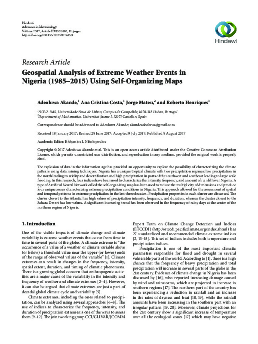
Geospatial Analysis of Extreme Weather Events in Nigeria (1985–2015) Using Self-Organizing Maps
| dc.contributor.author | Akande, Adeoluwa | |
| dc.contributor.author | Costa, Ana Cristina | |
| dc.contributor.author | Mateu, Jorge | |
| dc.contributor.author | Henriques, Roberto | |
| dc.date.accessioned | 2017-10-26T08:03:31Z | |
| dc.date.available | 2017-10-26T08:03:31Z | |
| dc.date.issued | 2017 | |
| dc.identifier.citation | AKANDE, Adeoluwa, et al. Geospatial Analysis of Extreme Weather Events in Nigeria (1985–2015) Using Self-Organizing Maps. Advances in Meteorology, 2017 | ca_CA |
| dc.identifier.issn | 1687-9309 | |
| dc.identifier.issn | 1687-9317 | |
| dc.identifier.uri | http://hdl.handle.net/10234/169598 | |
| dc.description.abstract | The explosion of data in the information age has provided an opportunity to explore the possibility of characterizing the climate patterns using data mining techniques. Nigeria has a unique tropical climate with two precipitation regimes: low precipitation in the north leading to aridity and desertification and high precipitation in parts of the southwest and southeast leading to large scale flooding. In this research, four indices have been used to characterize the intensity, frequency, and amount of rainfall over Nigeria. A type of Artificial Neural Network called the self-organizing map has been used to reduce the multiplicity of dimensions and produce four unique zones characterizing extreme precipitation conditions in Nigeria. This approach allowed for the assessment of spatial and temporal patterns in extreme precipitation in the last three decades. Precipitation properties in each cluster are discussed. The cluster closest to the Atlantic has high values of precipitation intensity, frequency, and duration, whereas the cluster closest to the Sahara Desert has low values. A significant increasing trend has been observed in the frequency of rainy days at the center of the northern region of Nigeria. | ca_CA |
| dc.description.sponsorShip | The work described in this paper was supported by the European Commission (EC) Education, Audiovisual and Cultural Executive Agency (EACEA) Erasmus Mundus scholarship. The authors also gratefully appreciate the Information Management School of the Universidade Nova de Lisboa (NOVA IMS), Department of Geoinformatics at the University of Munster and Universitat Jaume I. | |
| dc.format.extent | 12 p. | ca_CA |
| dc.format.mimetype | application/pdf | ca_CA |
| dc.language.iso | eng | ca_CA |
| dc.relation.isPartOf | Advances in Meteorology, 2017 | |
| dc.rights | Atribución 4.0 Internacional | * |
| dc.rights.uri | http://creativecommons.org/licenses/by-sa/4.0/ | * |
| dc.subject | global warming | ca_CA |
| dc.subject | Nigeria | ca_CA |
| dc.subject | climate change | ca_CA |
| dc.subject | tropical climate | ca_CA |
| dc.subject | geospatial analysis | ca_CA |
| dc.title | Geospatial Analysis of Extreme Weather Events in Nigeria (1985–2015) Using Self-Organizing Maps | ca_CA |
| dc.type | info:eu-repo/semantics/article | ca_CA |
| dc.identifier.doi | https://doi.org/10.1155/2017/8576150 | |
| dc.rights.accessRights | info:eu-repo/semantics/openAccess | ca_CA |
| dc.relation.publisherVersion | https://www.hindawi.com/journals/amete/2017/8576150/ | ca_CA |
| dc.type.version | info:eu-repo/semantics/publishedVersion | ca_CA |
Ficheros en el ítem
Este ítem aparece en la(s) siguiente(s) colección(ones)
-
INIT_Articles [743]
-
MAT_Articles [749]
Articles de publicacions periòdiques


