Mostrar el registro sencillo del ítem
La desecación de las Tablas de Daimiel (1750-1987): cambios agrarios e impactos medioambientales a partir de la interpretación del registro sedimentario
| dc.contributor.author | Celis, Alberto | |
| dc.contributor.author | Mediavilla, Rosa | |
| dc.contributor.author | Santiesteban, Juan I. | |
| dc.contributor.author | Castaño, Silvino | |
| dc.contributor.author | de la Losa, Almudena | |
| dc.date.accessioned | 2017-03-10T16:04:09Z | |
| dc.date.available | 2017-03-10T16:04:09Z | |
| dc.date.issued | 2017-04 | |
| dc.identifier.issn | 1139-1472 | |
| dc.identifier.uri | http://hdl.handle.net/10234/166638 | |
| dc.description.abstract | Located in a semi-arid zone of the central Iberian Peninsula, the Tablas de Daimiel National Park is a wetland of international significance that has experienced intense agricultural pressure since the eighteenth century. The impact of this is recorded in the sediments within the wetland, which have been studied by means of surveys. Several sediment anomalies have been found that were caused by an increase in agricultural activities, distinguishing this wetland from natural sedimentary behaviour. Four phases of significant disturbance have been established: the first drainage project in the 1750s, an increase in cultivated area in the surrounding land during the second half of the nineteenth century, a drainage attempt during the Spanish Second Republic and a final degradation in the second half of the twentieth century. Dated with some uncertainty due to the laboratory methods used, these disturbances have been corroborated by historical sources. In conclusion, one can establish that deforestation in the surrounding land, changes in land use, continual ploughing and drainage projects are all crucial in explaining the impoverishment of this wetland. | ca_CA |
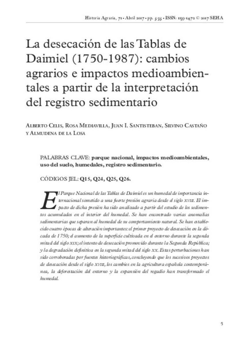
| dc.description.abstract | El Parque Nacional de las Tablas de Daimiel es un humedal de importancia internacional sometido a una fuerte presión agraria desde el siglo xviii. El impacto de dicha presión ha sido analizado a partir del estudio de los sedimentos acumulados en el interior del humedal. Se han encontrado varias anomalías sedimentarias que separan al humedal de su comportamiento natural. Se han establecido cuatro épocas de alteración importantes: el primer proyecto de desecación en la década de 1750; el aumento de la superficie cultivada en el entorno durante la segunda mitad del siglo xix; el intento de desecación promovido durante la Segunda República; y la degradación definitiva en la segunda mitad del siglo xx. Estas perturbaciones han sido corroboradas por fuentes historiográficas, concluyendo que los sucesivos proyectos de desecación desde el siglo xviii, los cambios en la agricultura española contemporánea, la deforestación del entorno y la expansión del regadío han transformado el humedal. | ca_CA |
| dc.format.extent | 31 p. | ca_CA |
| dc.format.mimetype | application/pdf | ca_CA |
| dc.language.iso | spa | ca_CA |
| dc.publisher | Sociedad Española de Historia Agraria (SEHA) | ca_CA |
| dc.relation.isPartOf | Historia agraria: Revista de agricultura e historia rural, nº 71, 5-35 | ca_CA |
| dc.rights | © 2017 SEHA | ca_CA |
| dc.rights.uri | http://rightsstatements.org/vocab/InC/1.0/ | * |
| dc.subject | Parque nacional | ca_CA |
| dc.subject | Impactos medioambientales | ca_CA |
| dc.subject | Tablas de Daimiel | ca_CA |
| dc.subject | Uso del suelo | ca_CA |
| dc.subject | National park | ca_CA |
| dc.subject | Wetlands | ca_CA |
| dc.subject | Humedales | ca_CA |
| dc.subject | Land use | ca_CA |
| dc.title | La desecación de las Tablas de Daimiel (1750-1987): cambios agrarios e impactos medioambientales a partir de la interpretación del registro sedimentario | ca_CA |
| dc.type | info:eu-repo/semantics/article | ca_CA |
| dc.subject.jel | Q15 | ca_CA |
| dc.subject.jel | Q24 | ca_CA |
| dc.subject.jel | Q25 | ca_CA |
| dc.subject.jel | Q26 | ca_CA |
| dc.rights.accessRights | info:eu-repo/semantics/openAccess | ca_CA |
| dc.relation.publisherVersion | http://www.historiaagraria.com/numero.php?n=71 | ca_CA |


