Mostrar el registro sencillo del ítem
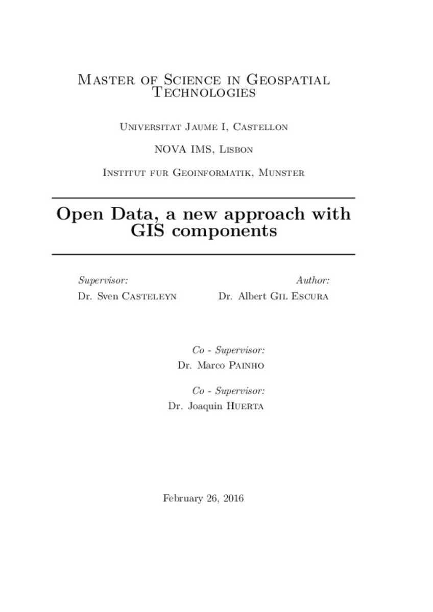
Open Data, a new approach with GIS components
| dc.contributor | Casteleyn, Sven | |
| dc.contributor | Universitat Jaume I. Departament de Llenguatges i Sistemes Informàtics | |
| dc.contributor | Huerta Guijarro, Joaquín | |
| dc.contributor | Painho, Marco | |
| dc.contributor.author | Gil Escura, Albert | |
| dc.date.accessioned | 2016-06-28T07:04:16Z | |
| dc.date.available | 2016-06-28T07:04:16Z | |
| dc.date.issued | 2016-03-07 | |
| dc.identifier.uri | http://hdl.handle.net/10234/161171 | |
| dc.description | Treball Final del Màster Universitari Erasmus Mundus en Tecnologia Geoespacial (Pla de 2013). Codi: SIW013. Curs acadèmic 2015-2016 | ca_CA |
| dc.description.abstract | In this work, we wanted to develop a proposal to improve the Open Data Infrastructure in Universitat Jaume I. To do this, we have studied the definition of Open Data and its principles. In addition, thanks to the rise of GIS technologies, we have studied how to add some GIS components to our proposal. These components are to manage spatial data, to visualize spatial data and to process spatial analysis. We have also made a comparison between different Open Data Infrastructures to get a general idea of how is running today. From a practical perspective, it can give a requirements for an implementation of an Open Data Infrastructure for Universitat Jaume I. Finally, we made a two cases study and we have done a test that has given us some ideas as future work. | ca_CA |
| dc.format.extent | 74 p. | ca_CA |
| dc.format.mimetype | application/pdf | ca_CA |
| dc.language.iso | eng | ca_CA |
| dc.publisher | Universitat Jaume I | ca_CA |
| dc.rights | Attribution-NonCommercial-ShareAlike 4.0 Spain | * |
| dc.rights.uri | http://creativecommons.org/licenses/by-nc-sa/4.0/ | * |
| dc.subject | Màster Universitari Erasmus Mundus en Tecnologia Geoespacial | ca_CA |
| dc.subject | Erasmus Mundus University Master's Degree in Geospatial Technologies | ca_CA |
| dc.subject | Máster Universitario Erasmus Mundus en Tecnología Geoespacial | ca_CA |
| dc.subject | Open Data | ca_CA |
| dc.subject | Open Data Infrastructure | ca_CA |
| dc.subject | GIS Components | ca_CA |
| dc.subject | Transparency | ca_CA |
| dc.subject | Participation | ca_CA |
| dc.subject | Collaboration | ca_CA |
| dc.subject | Framework | ca_CA |
| dc.subject | Spatial analysis | ca_CA |
| dc.subject | Visualization | ca_CA |
| dc.subject | Life cycle | ca_CA |
| dc.title | Open Data, a new approach with GIS components | ca_CA |
| dc.type | info:eu-repo/semantics/masterThesis | ca_CA |
| dc.educationLevel | Estudios de Postgrado | ca_CA |
| dc.rights.accessRights | info:eu-repo/semantics/openAccess | ca_CA |
Ficheros en el ítem
Este ítem aparece en la(s) siguiente(s) colección(ones)
-
TFM: Màster Universitari Erasmus Mundus en Tecnologia Geoespacial [79]
SIW013; SIK013


