Mostrar el registro sencillo del ítem
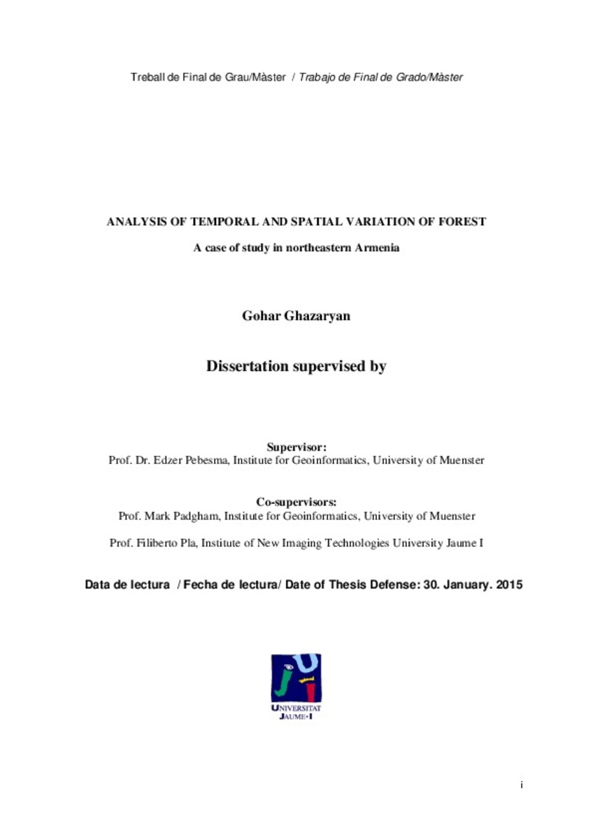
Analysis of temporal and spatial variation of forest. A case of study in northeastern Armenia
| dc.contributor | Pla Bañón, Filiberto | |
| dc.contributor | Pebesma, Edzer | |
| dc.contributor | Universitat Jaume I. Departament de Llenguatges i Sistemes Informàtics | |
| dc.contributor.author | Ghazaryan, Gohar | |
| dc.date.accessioned | 2016-03-21T11:40:33Z | |
| dc.date.available | 2016-03-21T11:40:33Z | |
| dc.date.issued | 2015-01-30 | |
| dc.identifier.uri | http://hdl.handle.net/10234/154568 | |
| dc.description | Treball Final del Màster Universitari Erasmus Mundus en Tecnologia Geoespacial (Pla de 2013). Codi: SIW013. Curs acadèmic 2014-2015 | ca_CA |
| dc.description.abstract | The forest has a crucial ecological role and the continuous forest loss can cause colossal effects on the environment. As Armenia is one of the low forest covered countries in the world, this problem is more critical. Continuous forest disturbances mainly caused by illegal logging started from the early 1990s had a huge damage on the forest ecosystem by decreasing the forest productivity and making more areas vulnerable to erosion. Another aspect of the Armenian forest is the lack of continuous monitoring and absence of accurate estimation of the level of cuts in some years. In order to have insight about the forest and the disturbances in the long period of time we used Landsat TM/ETM + images. Google Earth Engine JavaScript API was used, which is an online tool enabling the access and analysis of a great amount of satellite imagery. To overcome the data availability problem caused by the gap in the Landsat series in 1988- 1998, extensive cloud cover in the study area and the missing scan lines, we used pixel based compositing for the temporal window of leaf on vegetation (June-late September). Subsequently, pixel based linear regression analyses were performed. Vegetation indices derived from the 10 biannual composites for the years 1984-2014 were used for trend analysis. In order to derive the disturbances only in forests, forest cover layer was aggregated and the original composites were masked. It has been found, that around 23% of forests were disturbed during the study period. | ca_CA |
| dc.format.extent | 66 p. | ca_CA |
| dc.format.mimetype | application/pdf | ca_CA |
| dc.language.iso | eng | ca_CA |
| dc.publisher | Universitat Jaume I | ca_CA |
| dc.rights | Attribution-ShareAlike 4.0 Spain | * |
| dc.rights.uri | http://creativecommons.org/licenses/by-sa/4.0/ | * |
| dc.subject | Màster Universitari Erasmus Mundus en Tecnologia Geoespacial | ca_CA |
| dc.subject | Erasmus Mundus University Master's Degree in Geospatial Technologies | ca_CA |
| dc.subject | Máster Universitario Erasmus Mundus en Tecnología Geoespacial | ca_CA |
| dc.title | Analysis of temporal and spatial variation of forest. A case of study in northeastern Armenia | ca_CA |
| dc.type | info:eu-repo/semantics/masterThesis | ca_CA |
| dc.educationLevel | Estudios de Postgrado | ca_CA |
| dc.rights.accessRights | info:eu-repo/semantics/openAccess | ca_CA |
Ficheros en el ítem
Este ítem aparece en la(s) siguiente(s) colección(ones)
-
TFM: Màster Universitari Erasmus Mundus en Tecnologia Geoespacial [79]
SIW013; SIK013


